


LiDAR, Photogrammetry, & Mapping 101 for Public Safety | FlyMotion
www.flymotionus.com/posts/lidar-photogrammetry-mapping-101-for-public-safety

Drone Mapping Software: DroneDeploy vs. Pix4D | FlyMotion
www.flymotionus.com/posts/drone-mapping-software-dronedeploy-vs-pix4d

DJI Dock - FlyMotion
www.flymotionus.com/products/dji-dock

DJI Modify - FlyMotion
www.flymotionus.com/products/dji-modify

DJI Zenmuse H20N - FlyMotion
www.flymotionus.com/products/dji-zenmuse-h20n

DJI Zenmuse H20T - FlyMotion
www.flymotionus.com/products/dji-zenmuse-h20t
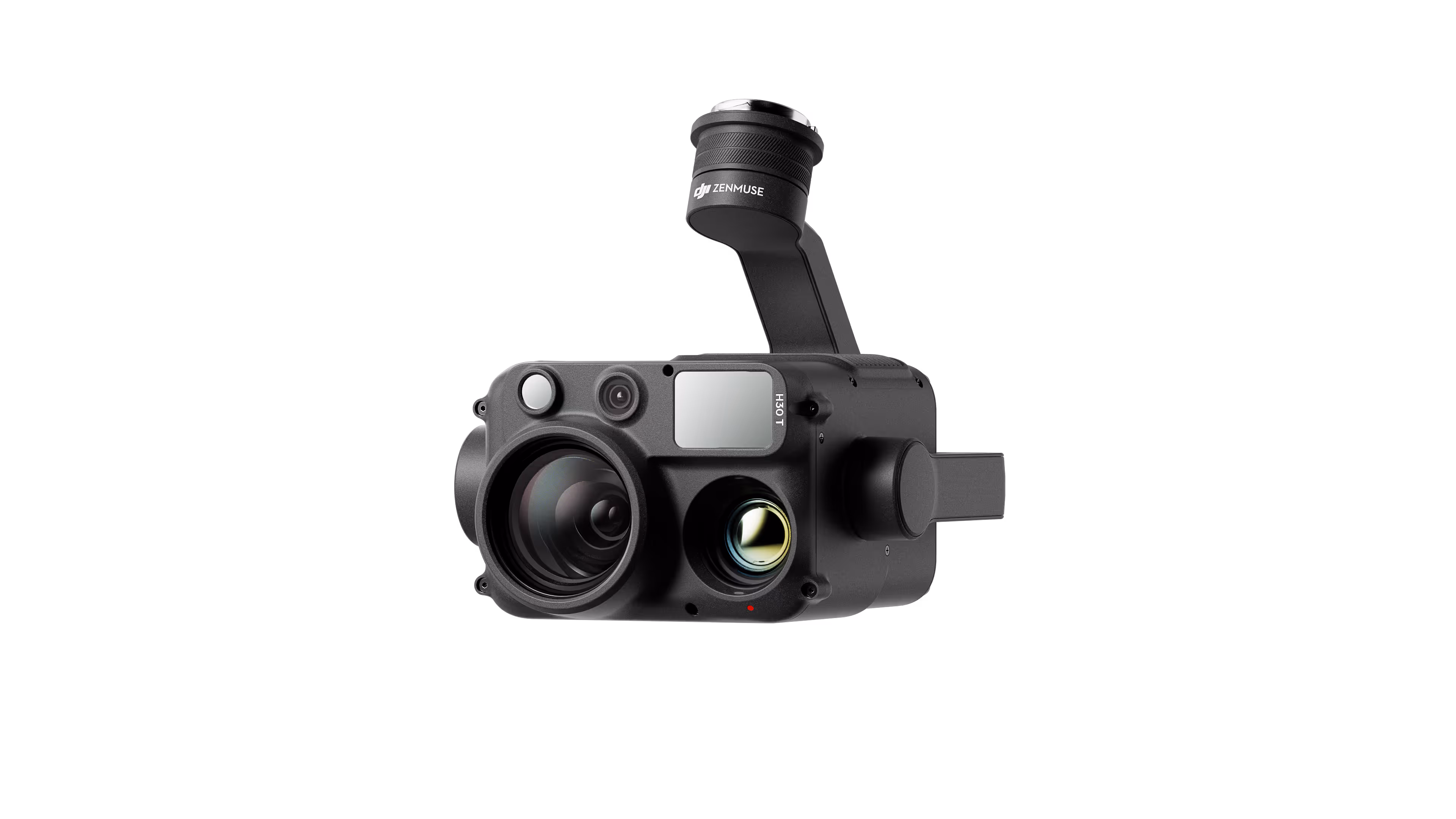
DJI Zenmuse H30T - FlyMotion
www.flymotionus.com/products/dji-zenmuse-h30t

DJI Zenmuse L2 - FlyMotion
www.flymotionus.com/products/dji-zenmuse-l2

DJI Zenmuse H30 - FlyMotion
www.flymotionus.com/products/dji-zenmuse-h30

DJI Dock 2 - FlyMotion
www.flymotionus.com/products/dji-dock-2

Sales, training & support for drones, robotics & technology.
