Welcome to the new FLYMOTION website!


Public safety, government, and defense organizations need to adopt modern technologies to protect their communities and nation effectively. Finding the right solution, however, can be a challenge.
FLYMOTION eliminates these barriers by delivering tailored solutions and services that lead to mission success.


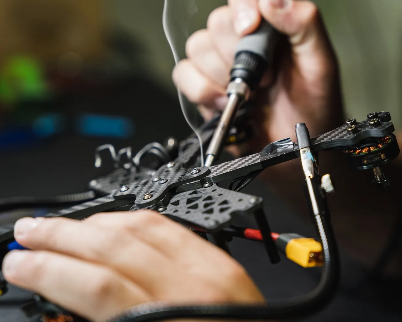
FLYMOTION is a globally-recognized solutions provider, delivering cutting-edge technology and support to clients around the world.


"Exemplary Professionalism in Service and Expertise"
This company is extremely professional, well organized, and fully embraces the 'serving those who serve' mindset. They are truly invested in autonomous / UGV integration and have a very knowledgeable staff that can provide support. They are also known to volunteer both staff and equipment for natural disasters, specifically the recent hurricanes that impacted Florida. I would highly recommend this company for any UAS/robotic needs.

"A Testament to Quality and Service"
I can’t say enough about FLYMOTION. The FLYMOTION team is top-notch and they are excellent to work with! Our agency has purchased drones and attended training from FLYMOTION for three years now and they have never disappointed us in the service and expertise they have provided. FLYMOTION stands up to its motto 'Supporting those who serve'.
"Exceptional Product Quality and Customer Support"
We have been a client for 6 months or so and have had great experiences with the UAS we purchased. It has exceeded our expectations during operations. Recently we had an issue during a high risk operation. Customer service and all reps we dealt with were great with getting our UAS fixed quickly to assure our down time was minimal. We are looking at purchasing another UAS due to our experiences. Would highly recommend!
"Synonymous with Excellence and Innovation"
FLYMOTION, a company that strives for excellence both in products and customer service! If you're in the market for expanding your abilities to a whole new opportunity FLYMOTION is an outstanding organization to partner with! Definitely check out to see what they have to offer you will be thoroughly impressed!

Sales, training & support for drones, robotics & technology.


.webp)
.webp)