The growing potential of unmanned systems in law enforcement applications means that more departments are looking into starting a UAS program of their own. In the first part of this series, we briefly covered the questions agencies should answer before starting. We also looked at the regulations that apply to the public sector. In this part, we will look at some of the more popular aircraft options for law enforcement along with software and training.
Once you establish a mission profile and budget for a UAS program, your agency will begin to explore aircraft options. Aircraft vary in size, capability, range, and price. While operating the largest, most expensive UAV is appealing, it may not be the right fit for your agency. Let’s take a look at some of the popular models available through FLYMOTION.
It isn't hard to see why DJI's Matrice 300 is becoming an industry standard. A 55-minute flight time, a 9-mile transmission range, IP45 rating, and a large payload capacity make the Matrice a public safety icon. Six sensors cover every angle of the aircraft for accurate obstacle detection and avoidance. The Matrice utilizes two TB60 intelligent batteries, which are hot-swappable, allowing a pilot to change batteries without restarting the system. Finally, all video transmits to the DJI Smart Controller in 1080p, a high-resolution feed for detailed awareness.

The other half of Matrice's capabilities lie in its broad payload portfolio. Operators have three different mounting configurations: one underslung gimbal, two underslung gimbals, or one underslung gimbal with another one mounted on top. Combining the payloads described below on one platform turns the Matrice into a powerful aerial asset.
A popular payload used by law enforcement is the Zenmuse H20T. A hybrid sensor combines a 20 MP optical zoom camera, a 12 MP wide camera, a 1200 m laser rangefinder, and a radiometric thermal camera. Such flexibility allows operators to make the most of their aerial solutions and respond to a variety of incidents.
Depending on the situation, the H20T can be used in conjunction with several accessories. The GL60 and GL60 Zoom spotlights are powerful lighting solutions with a reach of 200 meters and are compatible with the DJI Pilot App. These spotlights pair with the camera payload, mimicking its movement. The IR10 Infrared Spotlight works with an IR camera, like the H20T, to increase the image quality. Since infrared light can’t be seen by the human eye, pilots can light up an area without being detected. The DJI Flight App supports the IR10 for an added degree of control.
In some instances, being seen is as important as it is to see. The FL48 LED kit significantly increases aircraft visibility, capable of red/blue and yellow flash patterns, depending on the mission. Mounted on the legs, the kit can sync with the built-in warning lights through the controller. The lights can be powered from the aircraft and add the presence necessary in certain situations.
To communicate with people on the ground, the Matrice accommodates the MP130 Speaker. Its low weight, low power consumption, and clear sound make the MP130 the perfect communication solution.

Some scenarios require the delivery of packages, an ability the TH4 drop kit facilitates. The TH4 can carry up to four individual loads for a total weight capacity of 44 pounds. A Matrice equipped with the TH4 carries medical kits, hostage phones, and life jackets without endangering any first responders.
For mapping operations, the Zenmuse L1 is a LiDAR solution within the DJI ecosystem. Combining a Livox LiDAR module with a 1-inch optical camera, the L1 can create accurate 3D data. DJI’s Terra software then processes the data into models. In addition, the L1 supports Point Cloud LiveView; pilots view the 3D map on the controller as its built. This ability provides immediate insight into the terrain or buildings involved in the area of operations.

Emesent's Hovermap payload is a third-party LiDAR solution that integrates into the Matrice system. Also capable of recreating high-quality maps, Hovermap stands out for enabling the Matrice to fly autonomously in GPS-denied environments. Using its LiDAR data, Hovermap also augments the obstacle avoidance of the aircraft. This grants an added measure of safety, even in the most austere environments. A rapid turnaround for data processing means users have actionable intel to make prompt decisions. Mapping is useful for disaster response, crime scene re-creation, and counter-terrorism as a method of change detection at large venues.
Remember that with all of these features and options, the Matrice 300 comes with a significant price tag. Unless your department has the resources and/or the need for the Matrice 300, you may need to look at some smaller and less expensive options. Also, keep the size of the Matrice in mind when making a decision. The aircraft is large to accommodate the weight of the payloads. If indoor flight is a priority, this may not be the best option.

The DJI Mavic 2 Enterprise Advanced (M2EA) is a smaller and more affordable platform. Built on the successful Mavic 2 Pro, the M2EA extends its capabilities into the public safety sector with the integration of a dual optical/thermal camera gimbal. This payload, along with the option to mount one of four accessories, brings the capability of the Matrice down to a lower price point and smaller form factor. With a flight time of 31 minutes and a range of over 6 miles, the M2EA can able to respond to a variety of incidents. A 48 MP optical camera paired with a 640p radiometric thermal camera means a greater understanding of the incident. Pilots can easily switch views on the controller.
Four different accessories are available for use on the M2EA, all of which use the connection plate at the front of the aircraft. A spotlight, speaker, and a night-operation compliant beacon can be used. An RTK module is the fourth accessory, enabling centimeter-level positioning needed for survey and inspection missions.
Flexible configurations, along with the small size and lower price, make the Mavic 2 Enterprise Advanced a good starting option.

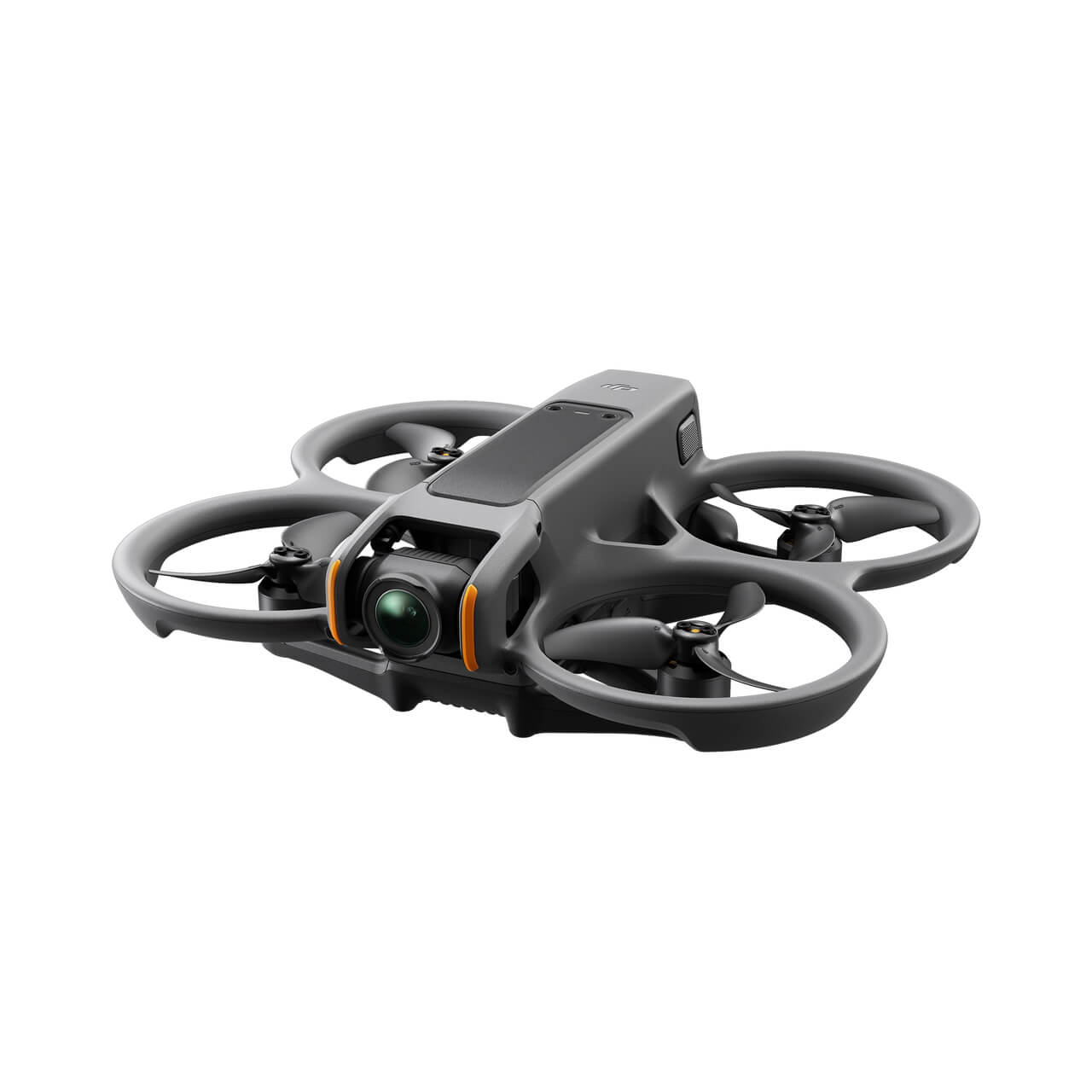
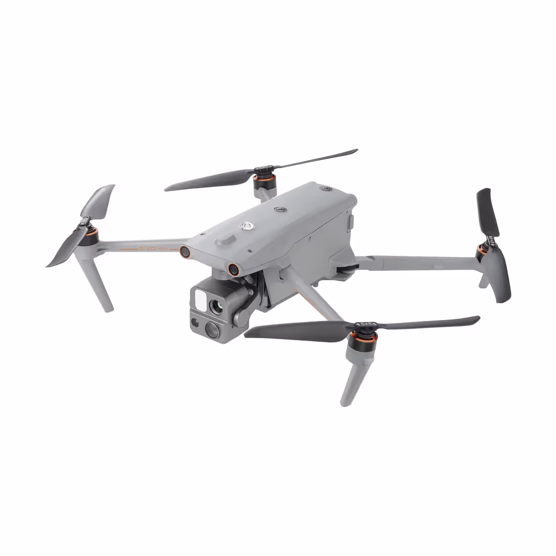
Autel’s counterpart to the M2EA, the EVO II Dual Enterprise, is another popular law enforcement option. Please note that there are two Enterprise-edition aircraft, the EVO II Pro and EVO II Dual. While the Pro only has a 6K camera, the Dual has both optical and thermal cameras. This is the model most departments select. As an Enterprise UAV, the Dual features a reinforced structure, four accessories, and Autel’s Smart Controller. The Dual Enterprise boasts a 42-minute flight time, 8-mile transmission range, 360-degree obstacle avoidance, and predictive target tracking. Like the M2EA, the Dual transmits a 1080p video feed.
The Dual Enterprise package also offers a spotlight, speaker, beacon, and RTK module. Each one tailors the aircraft for a different mission profile. While similar to the M2EA, Autel’s Dual Enterprise costs about 3,000 dollars more. This is a factor to consider before selecting it for your program.
UAVs cannot be effective tools if the flow of information stops at the pilot. While a pilot can relay information verbally over a radio, it's filtered, leaving out certain details. The alternative is to have the incident commander look at the pilot’s display. Now you have tied down the IC to the location of the pilot. Your department, therefore, may want to consider using streaming software. Some examples include Teradek and Dejero. These platforms bridge a communication gap by incorporating video data from unmanned aircraft, dashcams, bodycams, and cell phones. All of which feed to a central web app hub. Encrypted transmissions ensure security during sensitive operations.
Using these software solutions, any number of decision-makers watch the live feed from the UAV from their location. Now the number of individuals with access to valuable intel increases significantly, enabling them to make informed decisions. Streaming capabilities are scalable, whether it be to an IC onsite or an Emergency Operations Center miles away. Developing some level of connectivity makes a UAV much more effective and law enforcement operations more efficient.
Now that you've selected hardware and software, a training program needs to be created and implemented. FLYMOTION can provide training solutions for your agency. Whether you need support in starting a program or upscaling what's already in place, our experienced training staff can train your UAS pilots. FLYMOTION holds training sessions throughout the year at our headquarters in Tampa, Florida. We are also able to travel to your location and provide dedicated training on-site. Following a standardized training plan will ensure the effective use of the aircraft now and the future success of your UAS program.
As you can tell, there are a lot of things to consider when starting a UAS program. And while it's a lengthy process, the benefits are certainly worthwhile. More and more departments are finding ways to implement unmanned systems into their operations. This ranges from SWAT-team support to using it as a first responder. A drone won't replace trained officers or patrol cars. But it can perform tasks that would otherwise be very dangerous for personnel. In a limited sense, it also provides any mission with overwatch without the need for a much more expensive air support unit.
FLYMOTION is dedicated to supporting the integration of technology into public safety because we believe in the advantage it provides. We offer a broad range of solutions including training, equipment, and command vehicles. Interested? Check out our website and contact us directly.

Sales, training & support for drones, robotics & technology.

.jpg)