Overview
PIX4Dreact is an innovative mapping software designed specifically for emergency response and public safety applications. It enables the rapid creation of 2D orthomosaic maps from drone-captured nadir images, offering fast and reliable situational awareness essential for making quick decisions and effective collaboration in the field.
Key Highlights
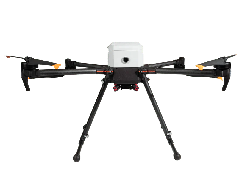
- Capture: Utilize drones with apps like PIX4Dcapture to plan optimized and automated flights for image capture, compatible with Parrot and DJI drones.
- Process: PIX4Dreact's fast-stitching technology combines a large number of images in minutes, creating measurable 2D maps on-site or back at base, tailored for emergency response needs.
- Examine: Simple tools allow for the identification and measurement of points of interest directly on the maps, facilitating rapid evaluation and action planning.
- Share: Maps can be exported and shared to ensure that teams and decision-makers have access to critical information promptly.
- Respond: Provides up-to-date maps that enhance safety, save time, and reduce costs in evolving situations, granting rapid and reliable situational awareness.
Key Specifications
- Fast Processing: Creates 2D maps from aerial imagery within minutes, crucial for time-sensitive situations.
- Ease of Use: Designed to be simple and intuitive, ensuring usability even under stress or in complex scenarios.
- Lightweight and Robust: Operates on mid-range computers without requiring an internet connection or cloud processing, making it ideal for field operations.
- Compatibility: Works seamlessly with a broad range of nadir drone images, including RGB, multispectral, thermal, fisheye, 360° camera images, and videos.
- Sharing and Collaboration: Enables easy sharing of findings through PIX4Dcloud and supports various export formats such as geoTIFF for maps, and GeoJSON, KML, Shapefile for markers and measurements.
Summary
PIX4Dreact stands out as a critical tool for emergency response teams, offering a fast, efficient, and intuitive solution for creating 2D orthomosaic maps from drone-captured images. Its fast processing capabilities, combined with the ease of use and robust operation without internet dependency, make it perfectly suited for providing timely situational awareness in emergency situations. Whether for immediate response, smoother collaboration, or long-term documentation, PIX4Dreact ensures that teams have the actionable insights needed to respond effectively and safely to crises.